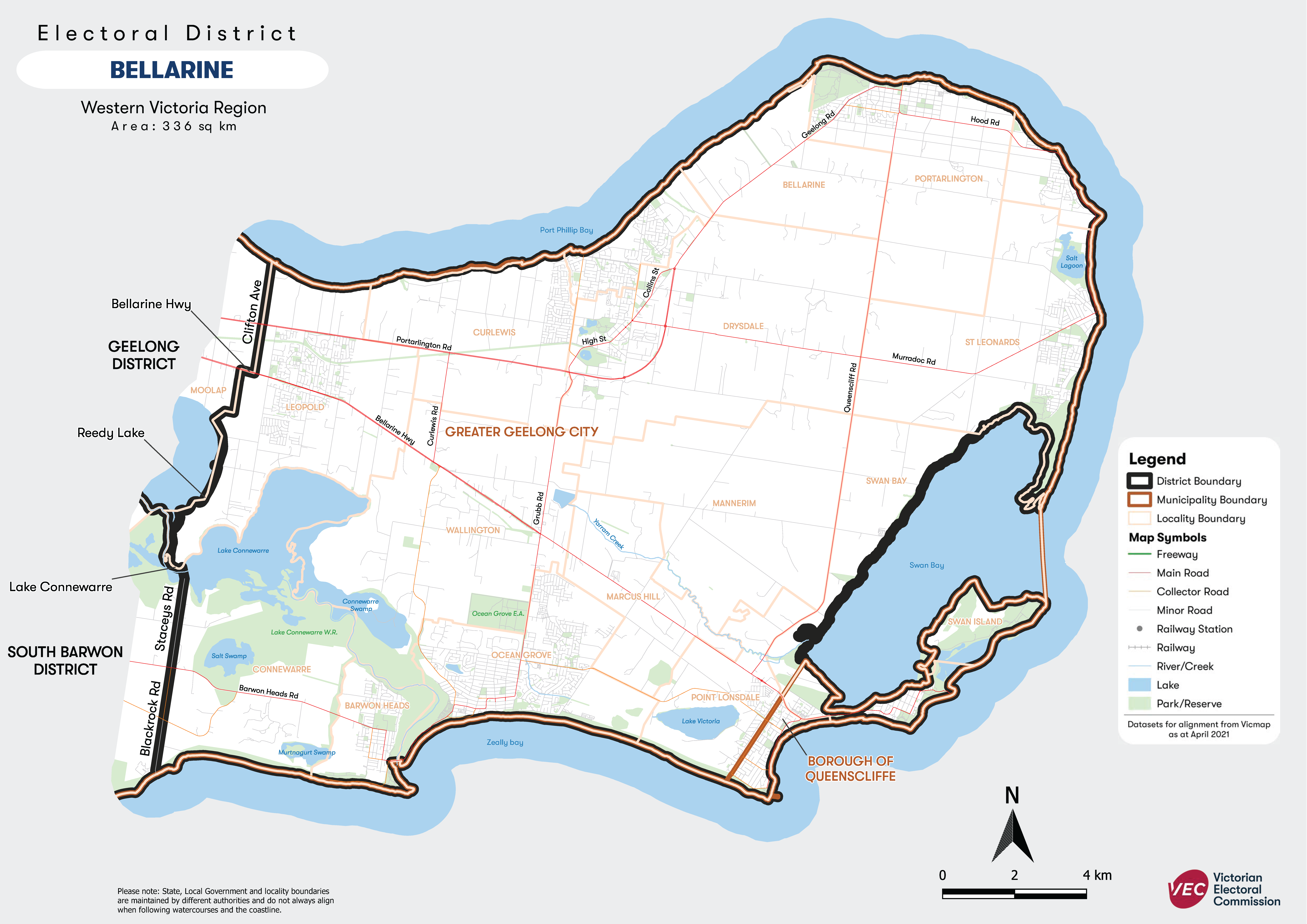
About Bellarine

The Bellarine Electorate
The electorate's name is drawn from its geographic position on the Bellarine peninsula lying to the east of Geelong. Major population centres include Leopold, Clifton Spring, Drysdale, Portarlington, Indented Head, St Leonards, Queenscliff, Ocean Grove and Barwon Heads. The electorate covers 335.7 square kilometres.
The Bellarine Peninsula, known as Balla-wiyn in Wadawurrung language means ‘recline on the elbow by the fire’ – a resting place. And what a magnificent resting place it is.
Check your electorate - https://maps.vec.vic.gov.au/


